Gold was discovered in the Falklands in the late 1990s and early 2000s by AIM listed Falkland Gold & Minerals Limited (“FGML”) and predecessor companies
Through an extensive regional stream sampling programme, significant free gold grains were recovered from a number of locations
Over a 3 year period FGML undertook a systematic exploration programme involving soil geochemistry, stream geochemistry, aerial geophysical surveys, ground geophysical surveys, geological and structural mapping, and over 30,000 m of diamond core drilling

FGML identified several key areas with favourable structural, geological and alluvial gold indications
However, prospective areas were covered by a blanket of peat up to 6m in depth
The peat layer effectively masked most rock outcrops and hence possible signs of mineralisation
Remote sensing technology available at that time could not provide sufficiently detailed sub-surface target generation to allow accurate drill placement
As a result, FGML relinquished its Falklands exploration licences
Combining the extensive data set from the previous FGML campaign with modern remote sensing techniques significantly de-risks future exploration
Warrah Resources has access to the full suite of data obtained by FGML (approx. £4 million spend)
Modern remote sensing - specifically Deep Ground Penetrating Radar - can map the sub-surface to depths of 200m
DGPR has a track record of mapping structures, over a number of projects, including Bendigo and Ballarat styled deposits under 20m plus cover
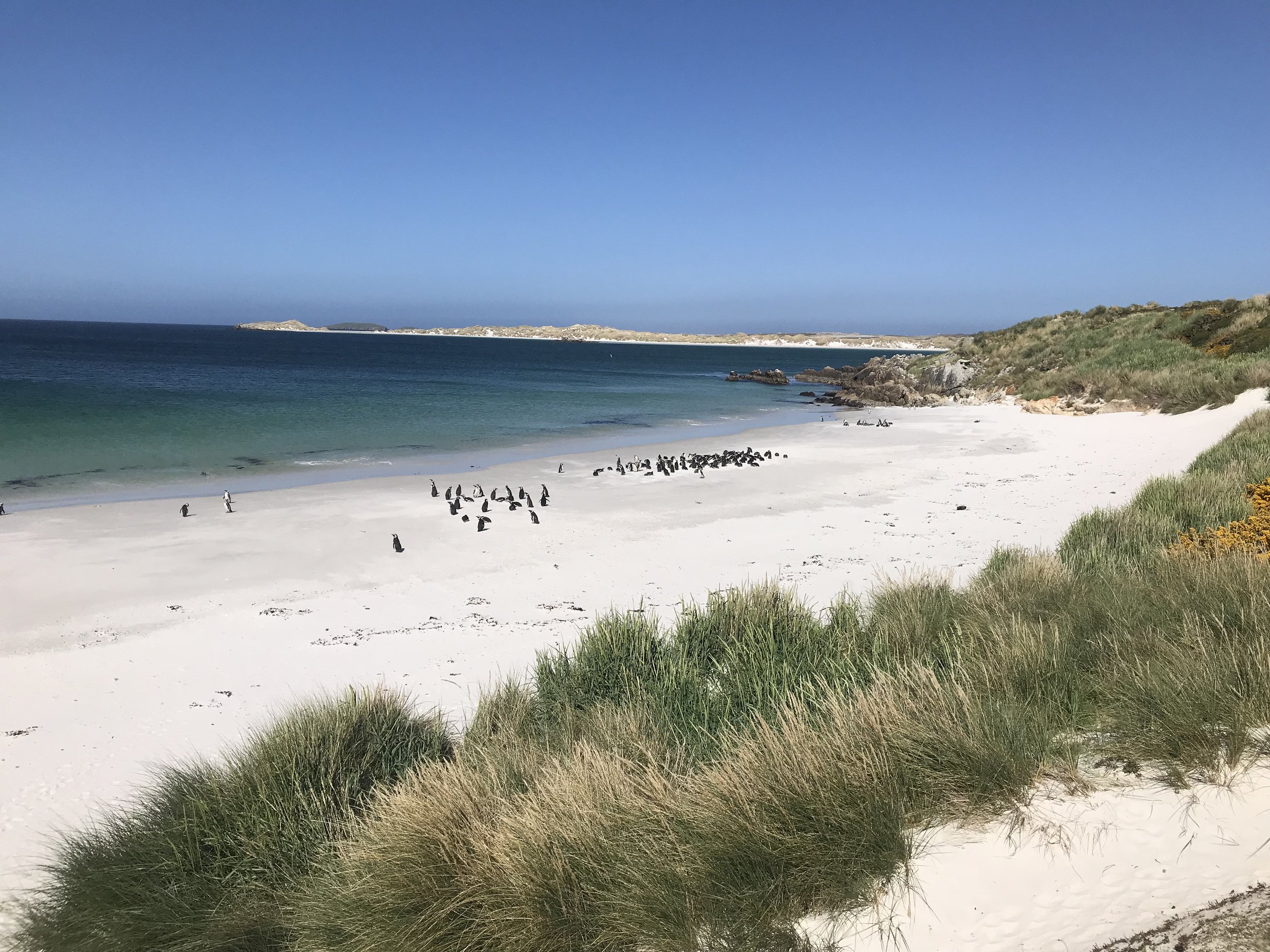
Gold is the primary focus but the Falklands remains largely unexplored with potential for Lithium, Cobalt and other battery metals